Data for
Cnemidocarpa finmarkiensis
- Global Region
Latitude: -90.0000N to 90.0000N
Longitude: -180.0000W to 180.0000W Map of this region
| Image | Type | Region | Normalized? | Details | Description |
|---|---|---|---|---|---|

|
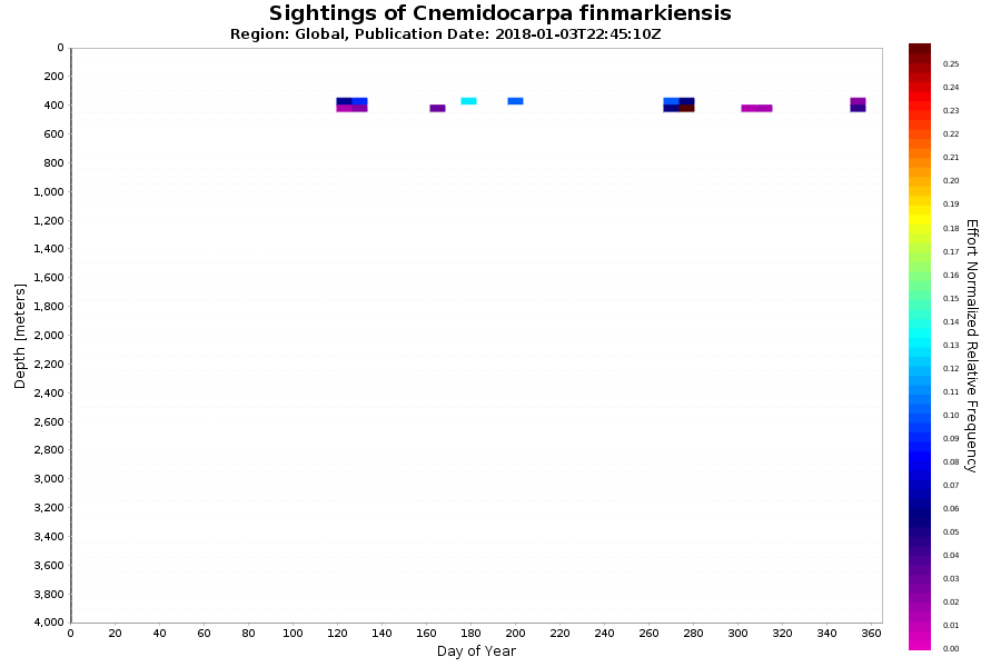
Histogram | Global | Yes | More Information | Sightings of Cnemidocarpa finmarkiensis from video collected by MBARI's ROVs. Counts from ALL ROVs binned into a day of year vs. depth histogram for the Global region normalized by ROV effort. |

|
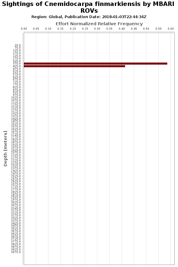
Histogram | Global | Yes | More Information | Sightings of Cnemidocarpa finmarkiensis from video collected by MBARI's ROVs. Annotations from all ROVs binned into a depth histogram for the Global region and normalized by ROV effort. |

|
Histogram | Global | No | More Information | Sightings of Cnemidocarpa finmarkiensis from video collected by MBARI's ROVs. Counts from ALL ROVs binned into a depth histogram for the Global region. |
These observational data “snapshots” are derived from our Video Annotation and Reference System (VARS) database. These graphs are inclusive of all descendants contained within this node (e.g., the Sebastes Data Products will contain observations of all species in the genus Sebastes). Occurrence data and identifications may be subject to change as observational techniques improve over time. More information: Data Use and Citation.